
A travel atlas
GeoTrip
Discover countries through photographs and sourced facts. Start with a quick overview, then open an explore journey when you want to go deeper.
Destinations
The world, country by country
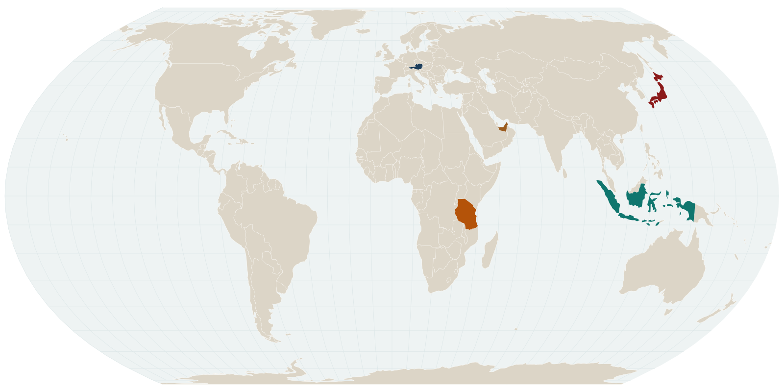
Every pin on the map is a full country on GeoTrip, with its cities and regions. Tap a pin to begin. New destinations keep arriving.
Featured · Central Europe
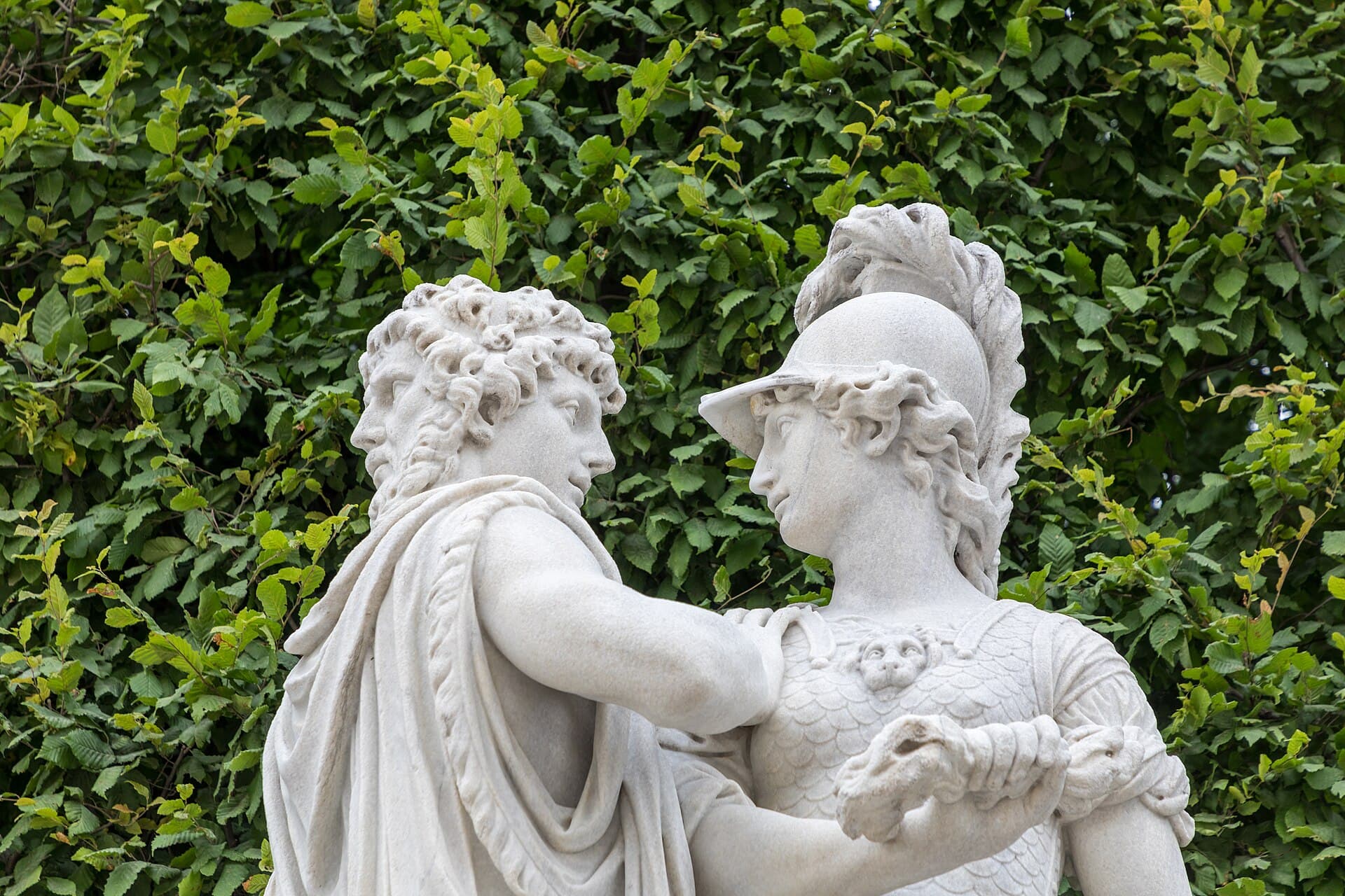
Austria
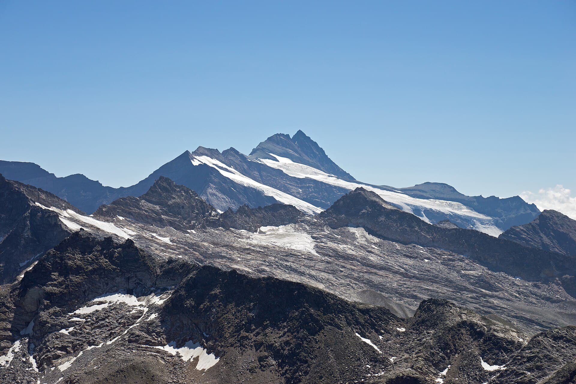
Austria has no coastline. It sits in the middle of Europe, among the Eastern Alps, as a federation of nine states with Vienna as its capital and largest city. Germany borders it to the northwest, Czechia to the north, Slovakia to the northeast, Hungary to the east, Slovenia and Italy to the south, and Switzerland and Liechtenstein to the west. The country covers about 83,879 square kilometres. On 1 January 2026 the final Statistics Austria count put the population at 9,215,956.
- Capital
- Vienna
- Area
- 83,879 km²
- UNESCO heritage
- 12 sites
- Best time
- Year-round
All destinations
View all →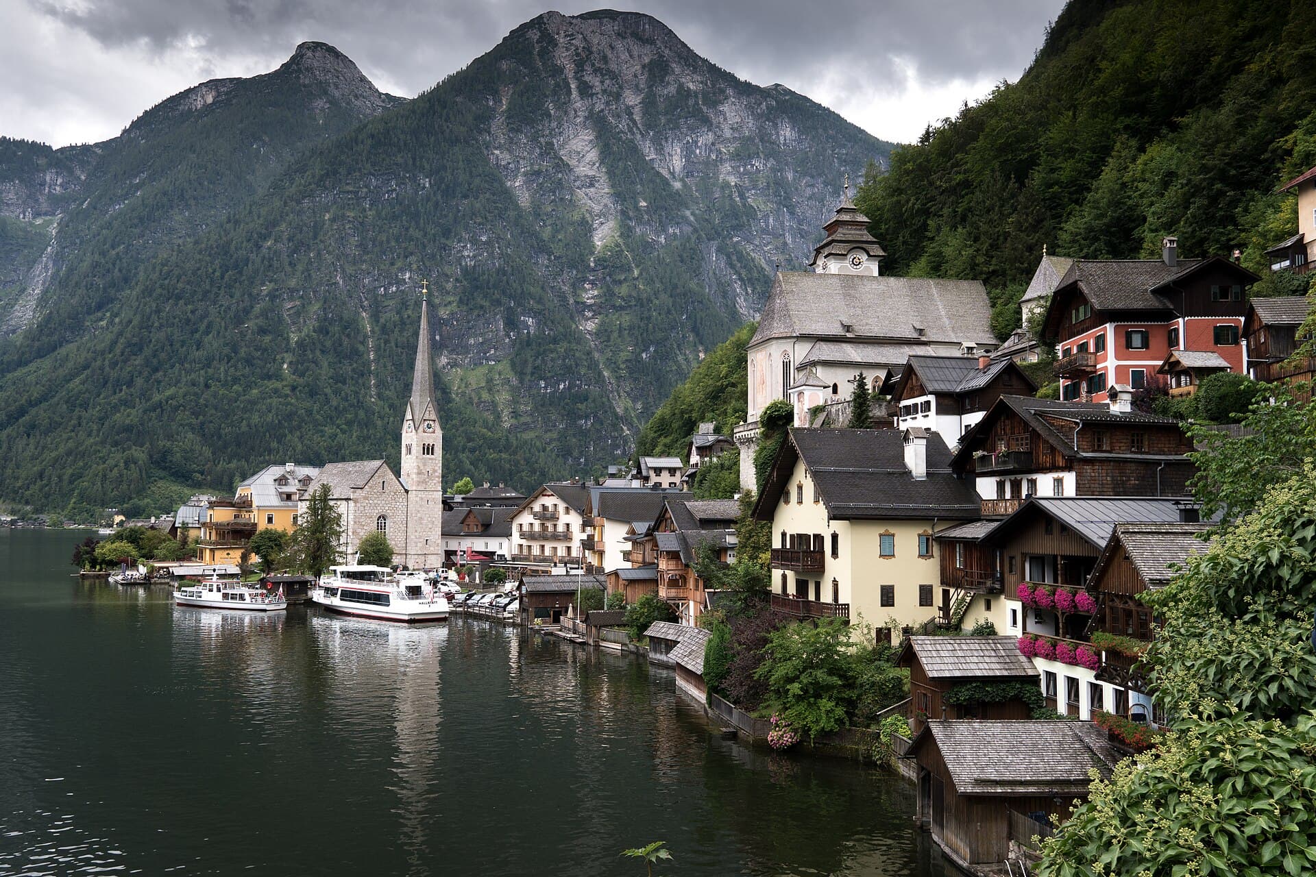
Central Europe
Austria
A compact country rising from the Danube to Alpine ice.
7 cities and regionsDiscover →
Southeast Asia & Oceania
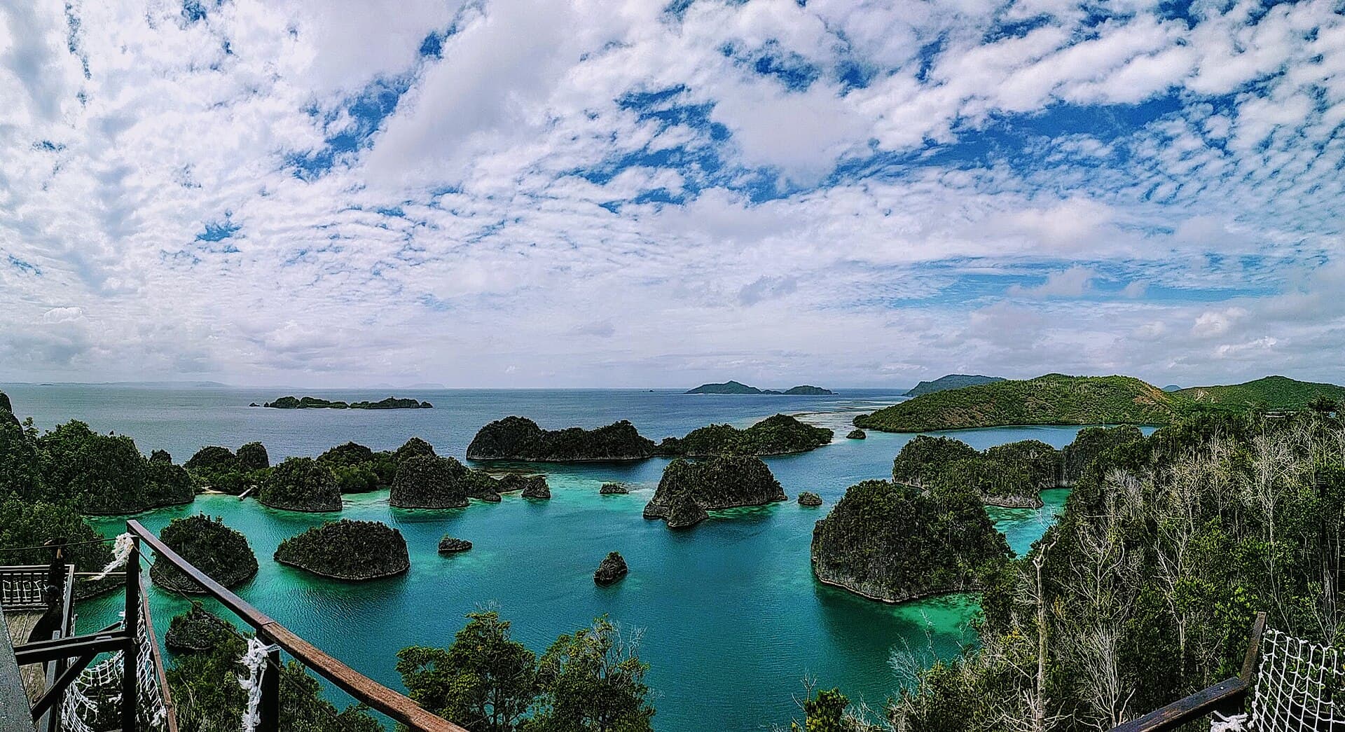
Indonesia
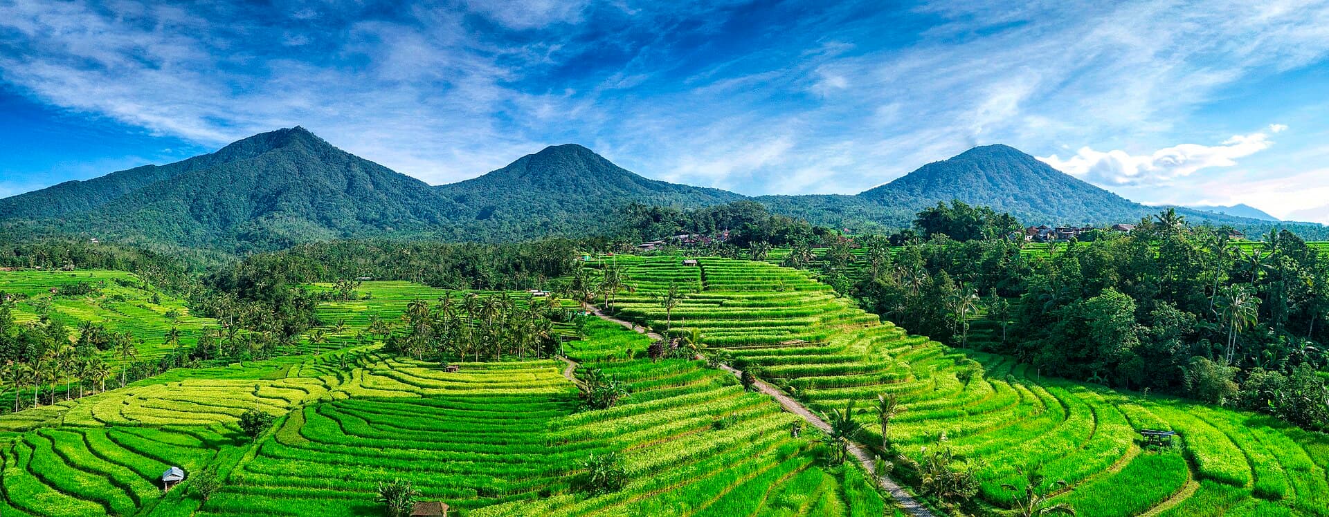
Thousands of equatorial islands: volcanoes, temples, and coral reefs.
7 cities and regionsDiscover →
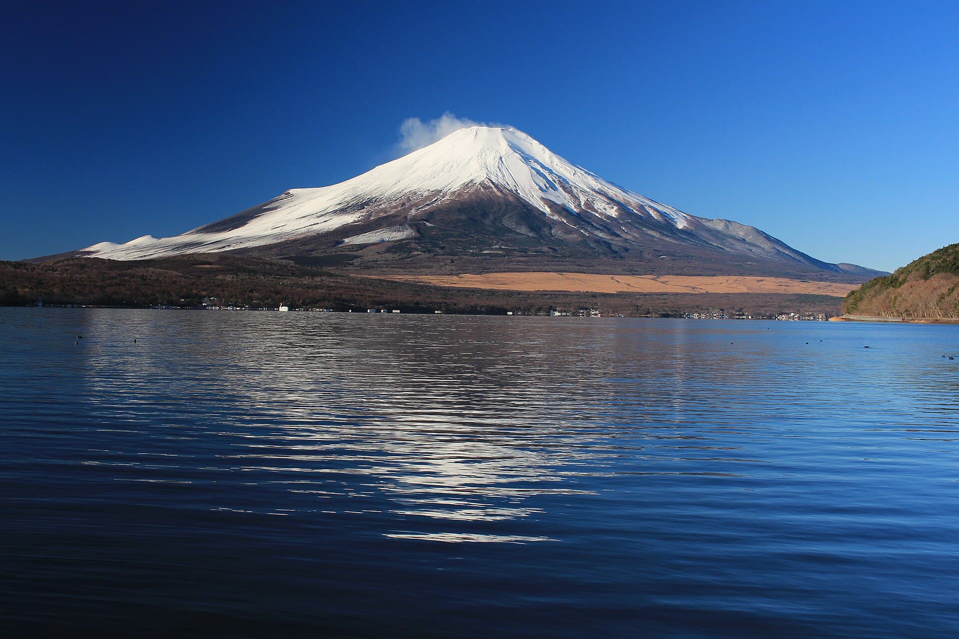
East Asia
Japan
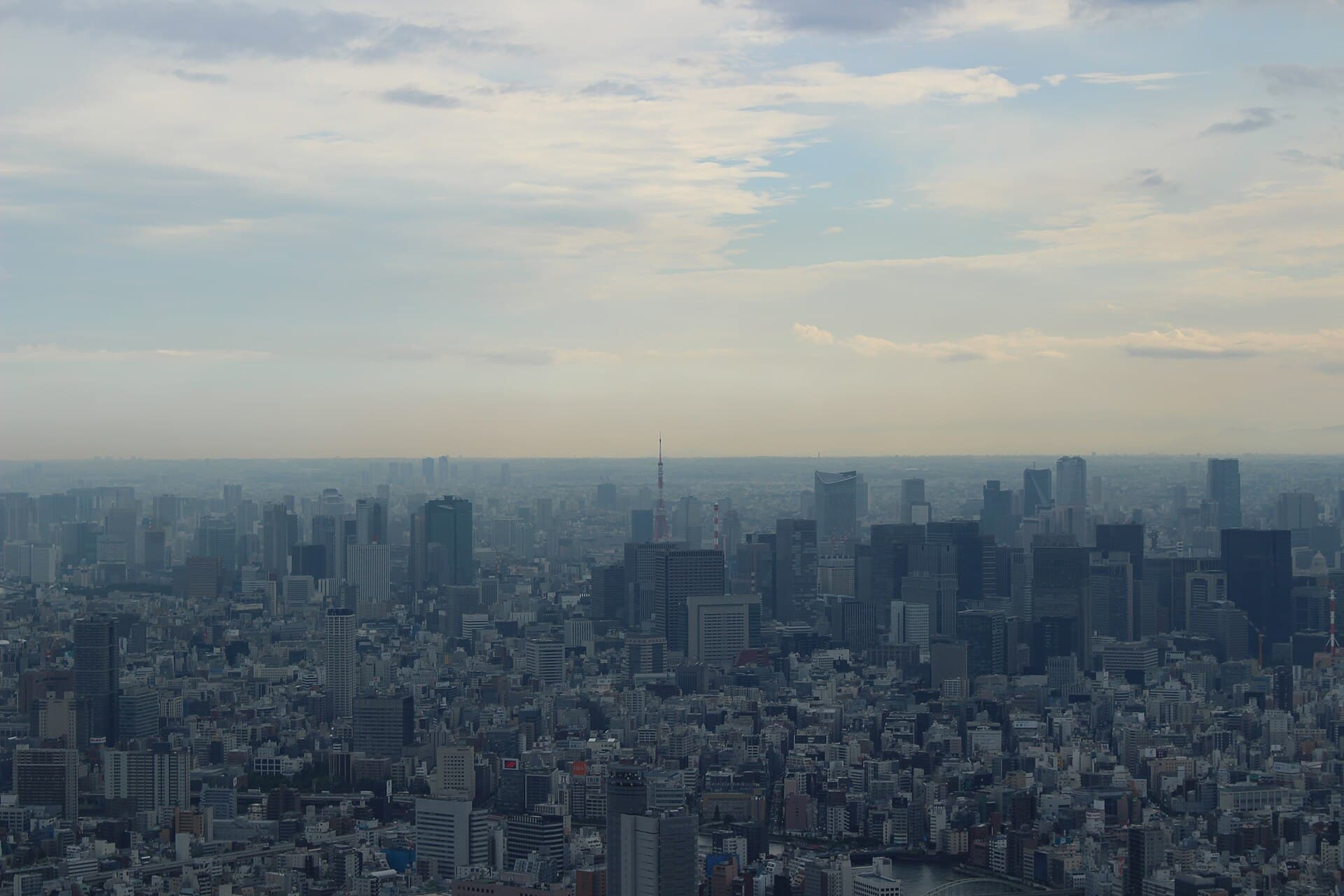
An archipelago of four seasons: cities, volcanoes, islands, and snow in the north.
7 cities and regionsDiscover →
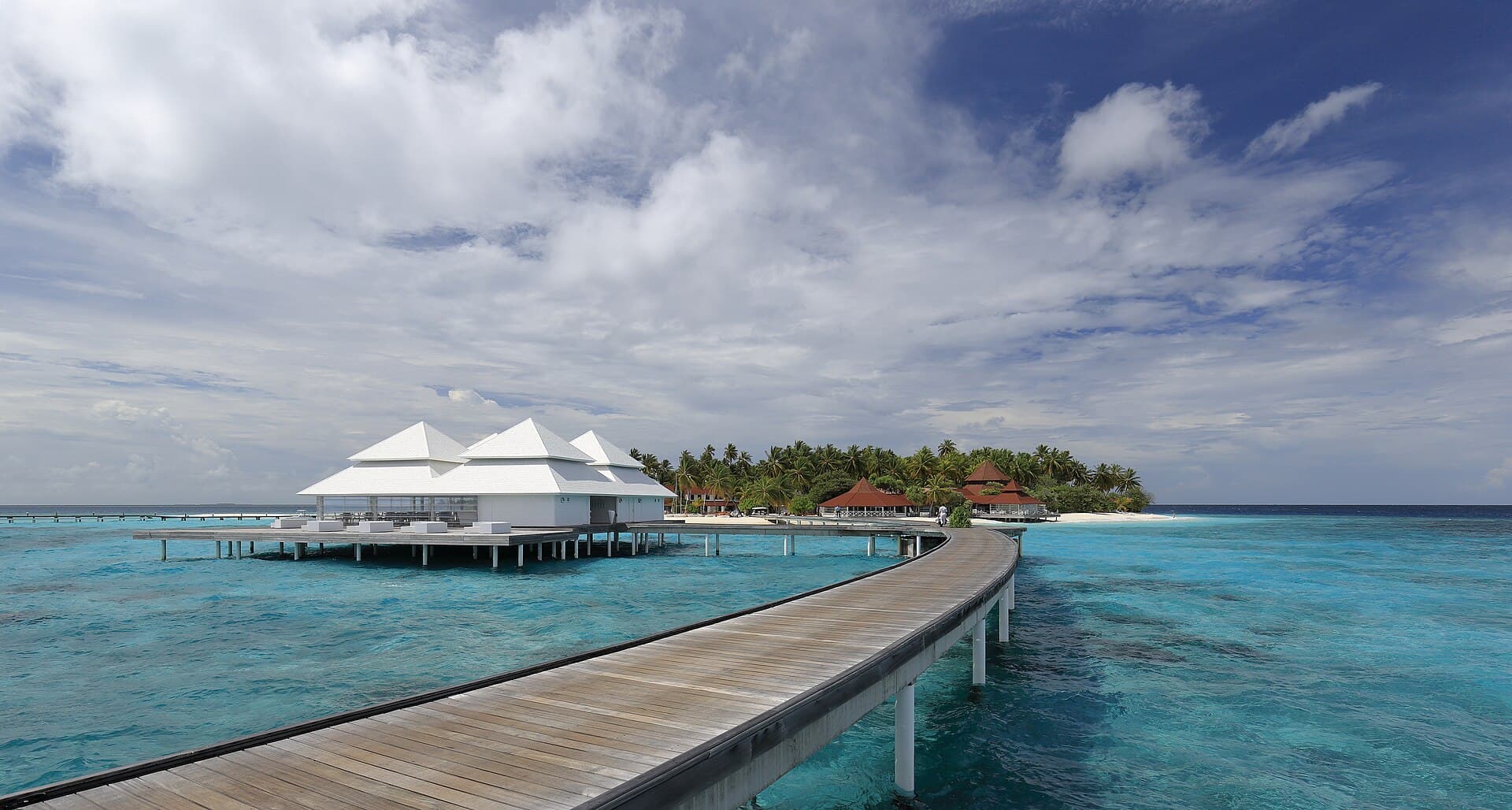
South Asia · Indian Ocean
Maldives
An archipelago of coral rings: turquoise lagoons, a crowded capital, and resort islands.
7 cities and regionsDiscover →

Southeast Asia
Singapore
A city-state on the strait — harbour, gardens, and neighbourhoods shaped by many cultures.
7 cities and regionsDiscover →
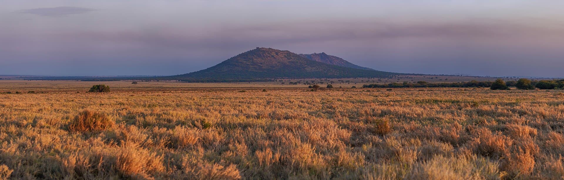
East Africa · Great Lakes & the Indian Ocean
Tanzania
Serengeti savannah, Ngorongoro’s crater, Kilimanjaro’s summit, and Zanzibar’s islands—inside one country.
7 cities and regionsDiscover →
How GeoTrip works
From a first glance to a full journey
- 01
Glance
One page per country: photos, key facts, standout places, and FAQ answers. Two minutes is enough to get a feel for the destination.
- 02
Explore
A step-by-step journey: the country map, cities and landmarks, experiences, heritage, and terrain maps you can move through.
- 03
Sources
Every figure has a source and a verification date, and every photo credits its photographer and licence. We show what we know—and where it came from.
Live now
When is flying cheaper?
A free flight-price calculator: pick your city and destination, then see this month’s average economy fare and the cheapest months of the year.
Learn more