
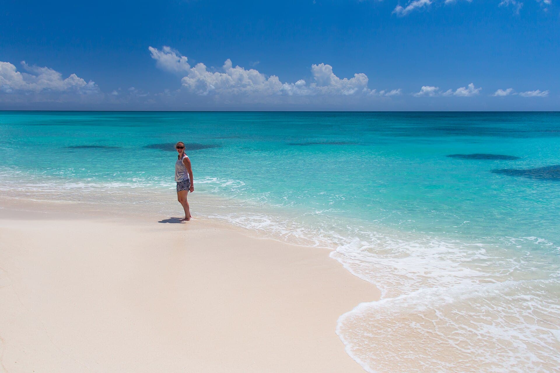
Saona Island beach of white sand and dense palms.
Photo https://www.flickr.com/photos/bez_uk/ · CC BY-SA 2.0
Photo on Wikimedia Commons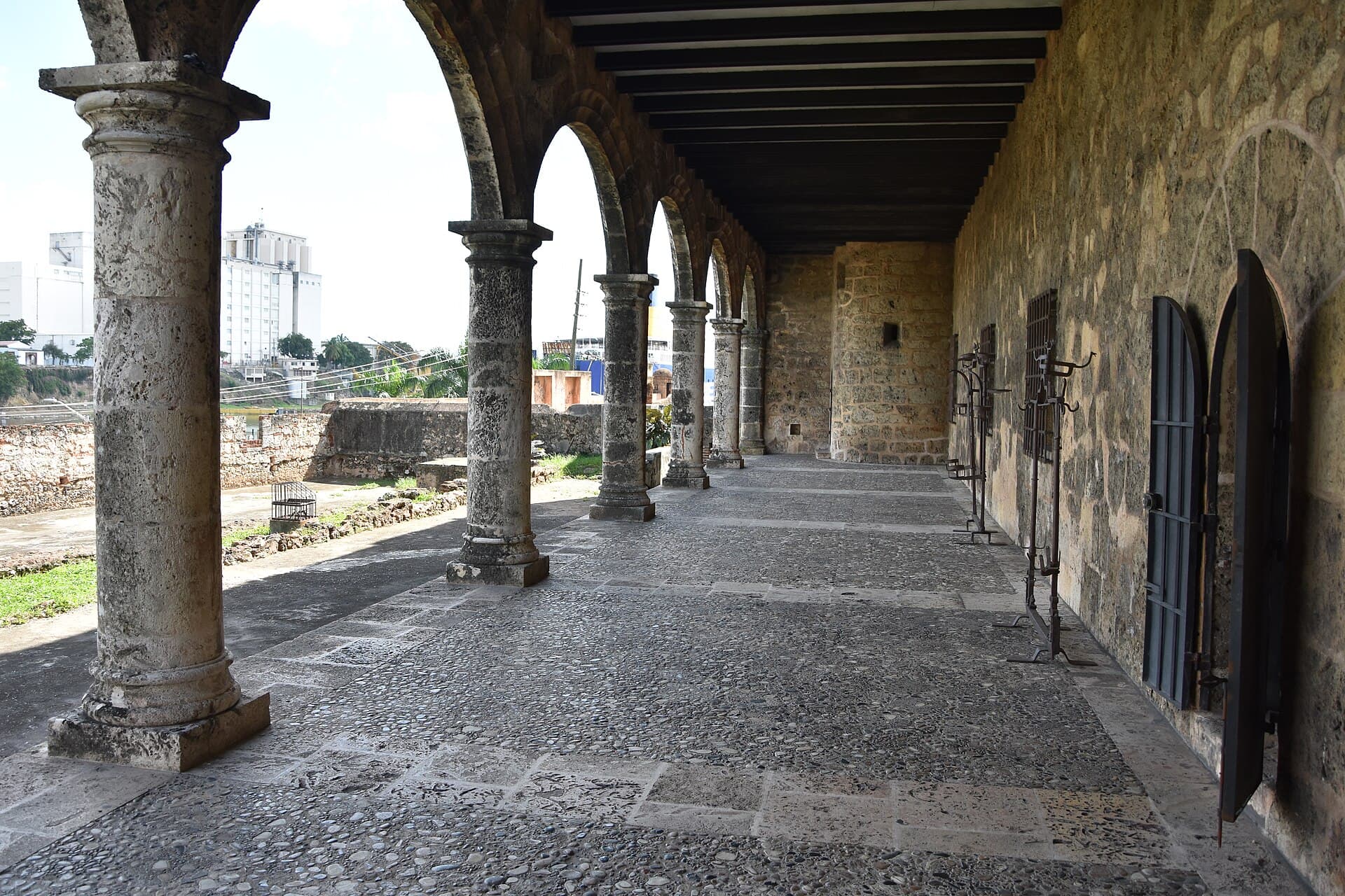
Stone façade of the Alcázar de Colón in Santo Domingo’s Colonial City.
Photo Phyrexian · CC BY-SA 4.0
Photo on Wikimedia Commons
White sand and turquoise water at Bávaro under a clear sky.
Photo Oleg Yunakov · CC BY-SA 4.0
Photo on Wikimedia Commons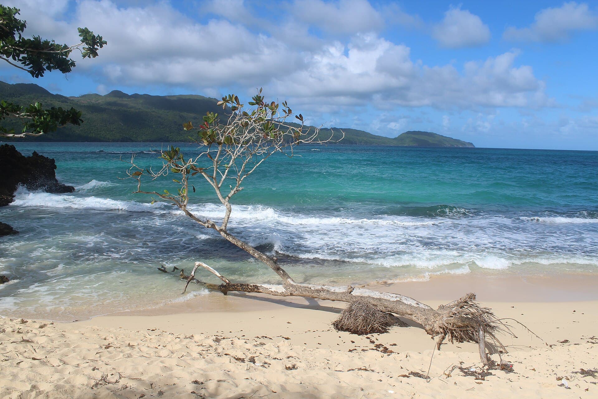
Long sandy arc of Playa Rincón on the Samaná Peninsula.
Photo Danu Widjajanto · CC BY-SA 4.0
Photo on Wikimedia Commons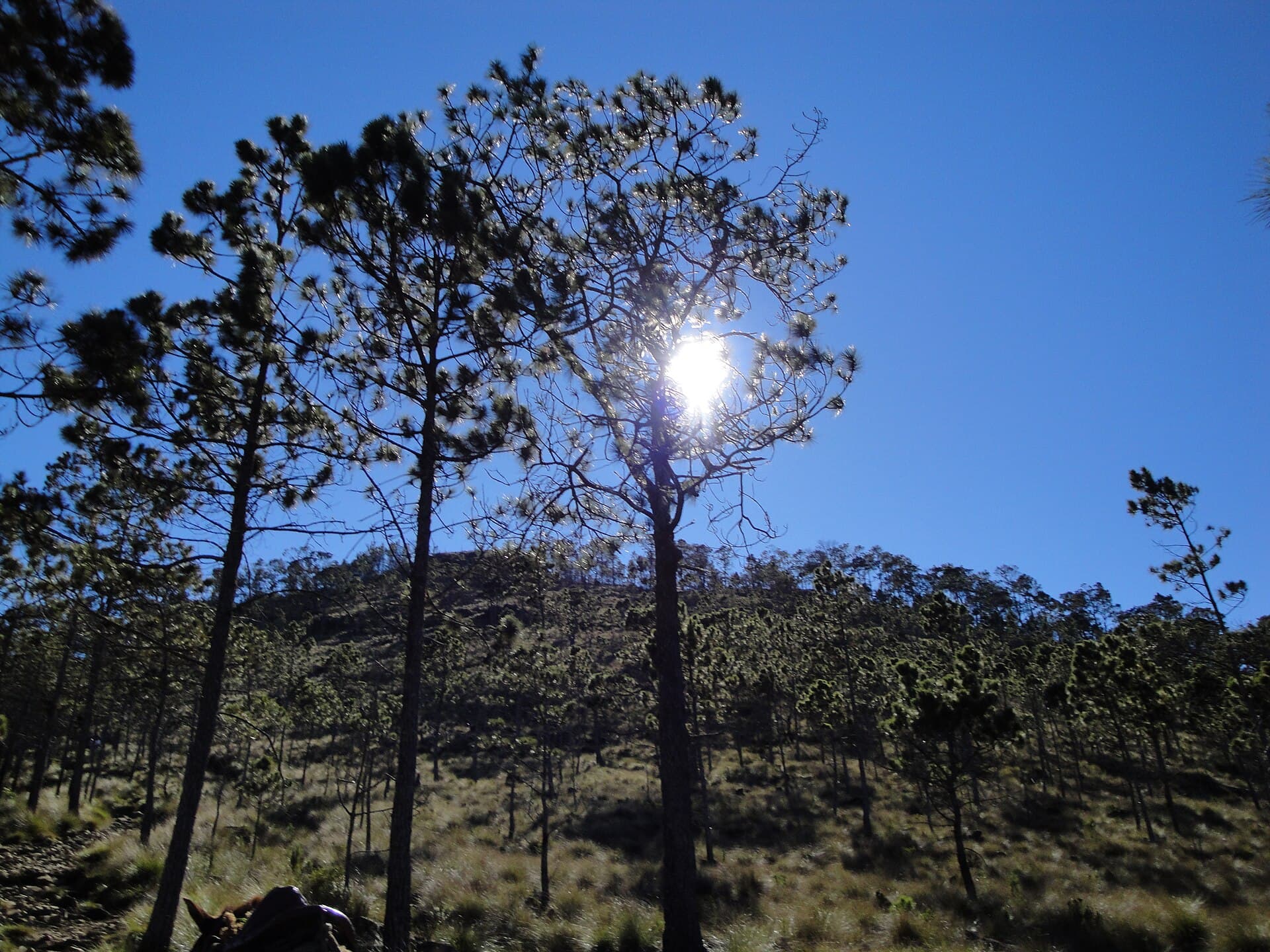
Pine-covered slopes of Pico Duarte in the Cordillera Central.
Photo jvg19 · CC BY 3.0
Photo on Wikimedia Commons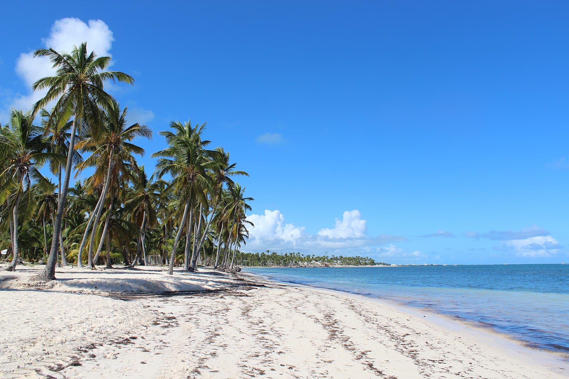
Cabeza de Toro beach in Punta Cana with white sand and clear shallows.
Photo Danu Widjajanto · CC BY-SA 4.0
Photo on Wikimedia Commons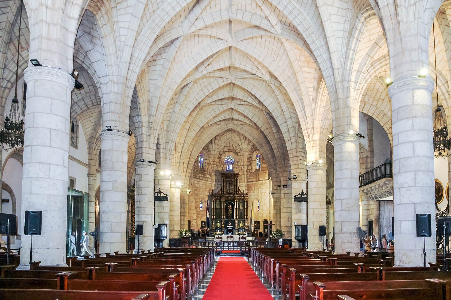
Golden coral-stone façade of the Cathedral of Santa María la Menor in Santo Domingo.
Photo Dr. Thomas Liptak · CC BY-SA 4.0
Photo on Wikimedia CommonsCaribbean, eastern half of Hispaniola
Dominican Republic
Turquoise beaches, a World Heritage colonial city, the Caribbean’s highest peak, and whales in Samaná Bay.
The Dominican Republic is a Caribbean island nation on the eastern half of Hispaniola, sharing a western border with Haiti. It covers about 48,671 square kilometres and is home to roughly 11.5 million people by the 2025 estimate. Santo Domingo is both capital and largest city. Spanish is the official language, the Dominican peso the currency, and Atlantic Standard Time runs year-round.
On the south coast, the Colonial City — Ciudad Colonial — sits on the west bank of the Ozama River: an early sixteenth-century street grid listed as World Heritage since 1990 across 106 hectares. Within it stand Fortaleza Ozama, built between 1502 and 1508; the Cathedral of Santa María la Menor, begun in 1504 and finished in 1550; and the Alcázar de Colón, raised between 1511 and 1514.
To the east stretch the white sands and turquoise water of Punta Cana and Bávaro; Punta Cana International Airport handles about 64% of the country’s arriving flights. Further south-east, boats leave Bayahíbe for Saona Island inside Cotubanamá National Park — the island alone covers about 110 square kilometres. In the north-east, the Samaná Peninsula offers beaches such as Rincón and Las Terrenas, and humpback whale season from mid-January to mid-March.
Inland, the Cordillera Central rises to Pico Duarte at 3,101 metres — the highest summit in the Caribbean — with a trail of about 23.1 kilometres from La Ciénaga. Near Jarabacoa, waterfalls such as Salto Jimenoa tumble through rock and greenery. In the south-west, Lake Enriquillo sits about 46 metres below sea level, the largest lake on Hispaniola and in the Caribbean.
The climate is tropical maritime, tempered by the mountains: rain falls across much of the country from May to November, and hurricane season runs from June to November with a peak in August–October. December to April is the most reliable window for a general visit. Food is part of the journey: mashed green-plantain mangú, hearty sancocho, the three-colour “flag” plate of rice, beans and meat, and cacao from island farms.
Practically: the main airports are Punta Cana, Santo Domingo, Puerto Plata and Samaná. The overall price level is about 39% of the United States level by World Bank figures for 2025 — a whole-economy measure, not resort rates alone. Entry rules depend on nationality; check the official page before you travel. The explore journey moves from coast to mountains to the colonial city, one station at a time.
Key cities and regions
Santo Domingo
Capital and colonial city: Alcázar de Colón, Fortaleza Ozama, and the oldest standing cathedral in the Americas.
Punta Cana and Bávaro
The eastern coast of white sand and turquoise water, and the country’s busiest leisure airport.
Samaná Peninsula
Rincón and Las Terrenas beaches, Los Haitises National Park, and humpback whale season.
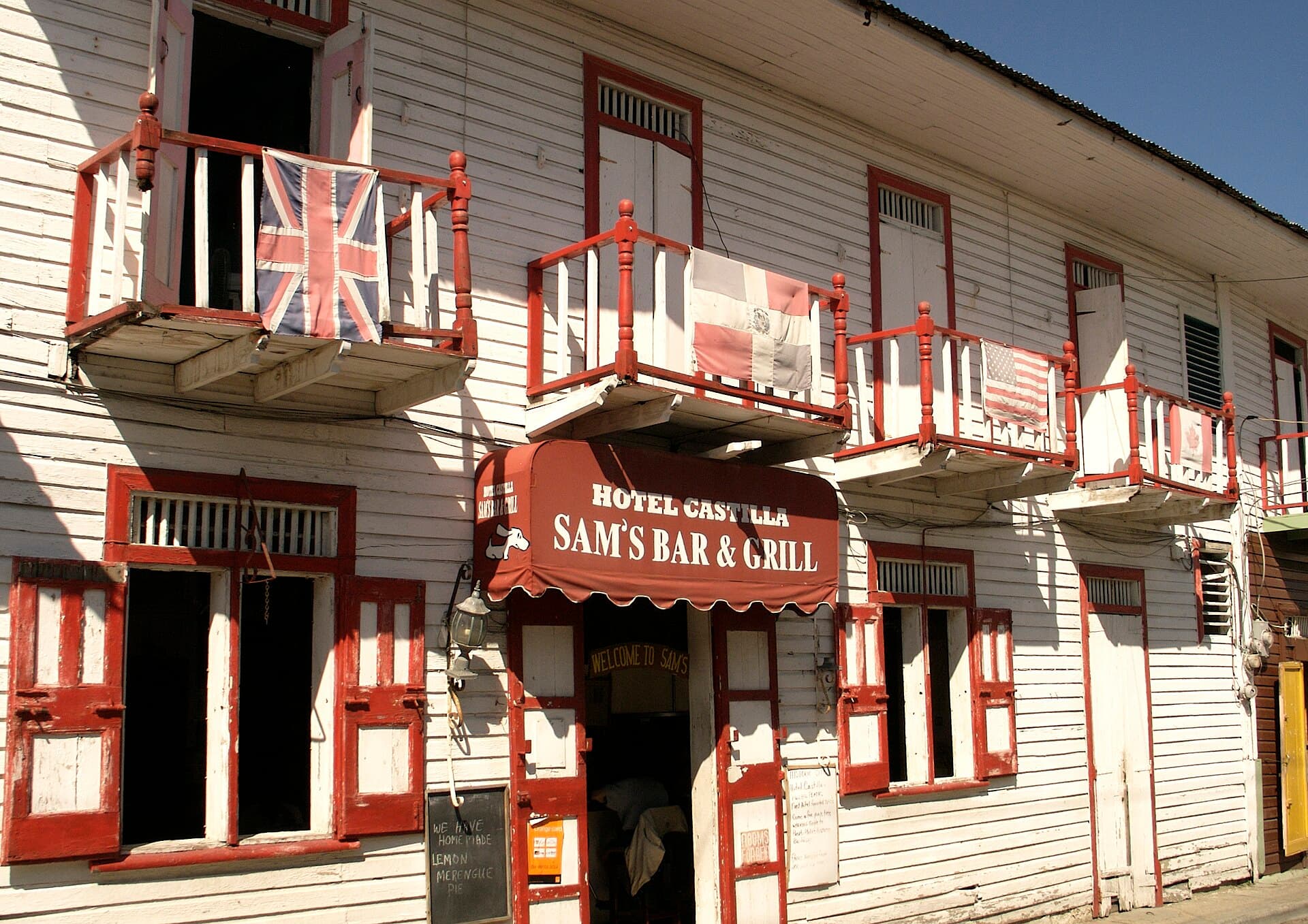
Puerto Plata
The Atlantic north coast, a historic town, and a cable car to Isabel de Torres.
Bayahíbe and Saona Island
A former fishing village and the gateway to Saona inside Cotubanamá National Park.
Jarabacoa and Pico Duarte
The Cordillera Central, Jimenoa falls, and the Caribbean’s highest peak.
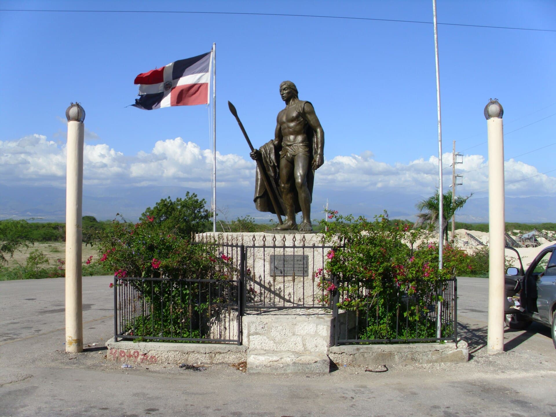
Barahona and Lake Enriquillo
The rugged south-west coast and the Caribbean’s largest lake, below sea level.
Want to know Dominican Republic better?
A journey in photos, maps, and figures—one step at a time.
What does a flight to Dominican Republic cost—and when is it cheaper?
Check from your city →FAQ about Dominican Republic
When is the best time to visit the Dominican Republic?
December to April is the most reliable window: drier months across most of the country, and outside the hurricane-season peak. Rain is more common from May to November in many areas, and storms are possible from June to November, with the greatest risk from August to October. The north coast can see earlier winter showers.
How many days do I need?
A week covers Punta Cana plus a day for Saona or the Colonial City. Ten to fourteen days let you combine the east coast with Santo Domingo and Samaná or Puerto Plata; add two nights around Jarabacoa and Pico Duarte if you want the mountains.
Is the Dominican Republic expensive?
The overall price level is about 39% of the United States level by the World Bank’s 2025 purchasing-power and exchange-rate figures. That number measures the whole economy, not resort rates alone, and all-inclusive hotels vary widely by season and region.
What currency is used, and are cards accepted?
The official currency is the Dominican peso. Cards are common in hotels and larger restaurants in tourist areas; cash helps in markets and smaller towns. The live exchange rate against your currency appears on the destination page.
How do I get between regions?
Domestic airports and short flights link Punta Cana, Santo Domingo, Puerto Plata and Samaná. Long-distance coaches and organised taxis cover the main roads; a boat is essential for Saona and Los Haitises. For mountain routes to Jarabacoa and Pico Duarte, arrange a local guide in advance.
Do I need a visa?
Entry rules depend on your nationality and travel documents. Fixed requirements are not listed here; check the official entry-requirements page of the Dominican Ministry of Tourism before you book, and complete any electronic forms required before arrival.
When can I see whales in Samaná?
The official humpback-whale watching season in Samaná Bay runs from 15 January to 15 March, according to the joint announcement by the Ministry of Environment and Tourism. Book a licensed operator, because the activity is regulated inside the marine mammal sanctuary.
Photos (26)
Sources & photo credits(41 sources · 44 photos · last verified 2026-10-02)
- 1.Dominican Republic · Wikipedia · Accessed 2026-10-02
- 2.Geography of the Dominican Republic · Wikipedia · Accessed 2026-10-02
- 3.Time in the Dominican Republic · Wikipedia · Accessed 2026-10-02
- 4.Dominican Republic — World Heritage properties · UNESCO World Heritage Centre · Accessed 2026-10-02
- 5.Colonial City of Santo Domingo · UNESCO World Heritage Centre · Accessed 2026-10-02
- 6.List of World Heritage Sites in the Caribbean · Wikipedia · Accessed 2026-10-02
- 7.Ciudad Colonial (Santo Domingo) · Wikipedia · Accessed 2026-10-02
- 8.Santo Domingo · Wikipedia · Accessed 2026-10-02
- 9.Alcázar de Colón · Wikipedia · Accessed 2026-10-02
- 10.Fortaleza Ozama · Wikipedia · Accessed 2026-10-02
- 11.Cathedral of Santo Domingo · Wikipedia · Accessed 2026-10-02
- 12.Museo de las Casas Reales · Wikipedia · Accessed 2026-10-02
- 13.Punta Cana · Wikipedia · Accessed 2026-10-02
- 14.Bávaro · Wikipedia · Accessed 2026-10-02
- 15.Samaná Province · Wikipedia · Accessed 2026-10-02
- 16.Las Terrenas · Wikipedia · Accessed 2026-10-02
- 17.El Limón, Samaná · Wikipedia · Accessed 2026-10-02
- 18.Los Haitises National Park · Wikipedia · Accessed 2026-10-02
- 19.Puerto Plata · Wikipedia · Accessed 2026-10-02
- 20.Bayahíbe · Wikipedia · Accessed 2026-10-02
- 21.Saona Island · Wikipedia · Accessed 2026-10-02
- 22.Cotubanamá National Park · Wikipedia · Accessed 2026-10-02
- 23.Jarabacoa · Wikipedia · Accessed 2026-10-02
- 24.Pico Duarte · Wikipedia · Accessed 2026-10-02
- 25.Cordillera Central, Dominican Republic · Wikipedia · Accessed 2026-10-02
- 26.Barahona Province · Wikipedia · Accessed 2026-10-02
- 27.Lake Enriquillo · Wikipedia · Accessed 2026-10-02
- 28.Dominican Republic cuisine · Wikipedia · Accessed 2026-10-02
- 29.Mangú · Wikipedia · Accessed 2026-10-02
- 30.Sancocho · Wikipedia · Accessed 2026-10-02
- 31.Music and dance of the merengue in the Dominican Republic · UNESCO Intangible Cultural Heritage · Accessed 2026-10-02
- 32.Music and dance of Dominican Bachata · UNESCO Intangible Cultural Heritage · Accessed 2026-10-02
- 33.Medio Ambiente y Turismo dan inicio a temporada de Observación de Ballenas Jorobadas · Ministerio de Medio Ambiente y Recursos Naturales · Accessed 2026-10-02
- 34.Punta Cana International Airport · Wikipedia · Accessed 2026-10-02
- 35.Las Américas International Airport · Wikipedia · Accessed 2026-10-02
- 36.Gregorio Luperón International Airport · Wikipedia · Accessed 2026-10-02
- 37.Samaná El Catey International Airport · Wikipedia · Accessed 2026-10-02
- 38.PPP conversion factor, GDP (LCU per international $) — Dominican Republic · World Bank · Accessed 2026-10-02
- 39.Official exchange rate (LCU per US$, period average) — Dominican Republic · World Bank · Accessed 2026-10-02
- 40.Entry Requirements · Go Dominican Republic (Ministry of Tourism) · Accessed 2026-10-02
- 41.Feel DR, The Land That Has It All · Go Dominican Republic (YouTube) · Accessed 2026-10-02
- Stone façade of the Alcázar de Colón in Santo Domingo’s Colonial City. · Phyrexian · CC BY-SA 4.0
- Wide view of the Alcázar de Colón and its garden in Santo Domingo. · Martin Falbisoner · CC BY-SA 4.0
- Tower of Fortaleza Ozama above the Ozama River in the Colonial City. · Phyrexian · CC BY-SA 4.0
- Golden coral-stone façade of the Cathedral of Santa María la Menor in Santo Domingo. · Dr. Thomas Liptak · CC BY-SA 4.0
- Aerial view of the Colonial City’s red rooftops at the mouth of the Ozama River. · Mariordo (Mario Durán & German Valverde) · CC BY-SA 4.0
- Cobbled street in the Atarazana quarter of the Colonial City. · -wuppertaler · CC BY 4.0
- Punta Cana beach with palms, coastal plants and turquoise water. · Ben Kucinski from Beverly Hills, CA · CC BY 2.0
- Punta Cana shoreline of pale sand and gentle waves. · https://www.flickr.com/photos/channone/ · CC BY 2.0
- Cabeza de Toro beach in Punta Cana with white sand and clear shallows. · Danu Widjajanto · CC BY-SA 4.0
- Beach stretching south-east through the Punta Cana coast. · DimiTalen · CC0
- White sand and turquoise water at Bávaro under a clear sky. · Oleg Yunakov · CC BY-SA 4.0
- Sunrise over Bávaro Beach on the Dominican east coast. · Ivan Curra · CC BY-SA 3.0
- Small rocky cove with palms on the Samaná Peninsula. · Danu Widjajanto · CC BY-SA 4.0
- Playa Frontón with high cliffs and deep blue water in Samaná. · Danu Widjajanto · CC BY-SA 4.0
- Long sandy arc of Playa Rincón on the Samaná Peninsula. · Danu Widjajanto · CC BY-SA 4.0
- Playa Bonita near Las Terrenas with palms and calm water. · travelmag.com · CC BY 2.0
- Rocky headland of Cabo Samaná looking out over the Atlantic. · Dennishidalgo · CC BY-SA 4.0
- Colourful buildings in the centre of Puerto Plata on the north coast. · https://www.flickr.com/photos/73416633@N00/ · CC BY 2.0
- Rooftops of Puerto Plata between hills and the sea. · https://www.flickr.com/photos/daquellamanera/ · CC0
- Bayahíbe beach with palms and clear Caribbean water. · Максим Улитин · CC BY 3.0
- Bayahíbe shore with low rocks and coastal plants. · Mariordo (Mario Roberto Durán Ortiz) · CC BY-SA 4.0
- Saona Island beach of white sand and dense palms. · https://www.flickr.com/photos/bez_uk/ · CC BY-SA 2.0
- Shallow turquoise water beside white sand on Saona. · Danu Widjajanto · CC BY-SA 4.0
- Saona shoreline with palms leaning over pale sand and water. · Oleg Yunakov · CC BY-SA 4.0
- Wide Saona beach with turquoise shallows turning yellow near the sand. · Jordi Esquiva · CC BY-SA 4.0
- Pine-covered slopes of Pico Duarte in the Cordillera Central. · jvg19 · CC BY 3.0
- Hispaniolan pines on the flanks of Pico Duarte. · jvg19 · CC BY 3.0
- Rocky summit of Pico Duarte above mountain forest. · Adrian Michael · CC BY-SA 3.0
- Salto Jimenoa falling between rocks and greenery near Jarabacoa. · Jos1950 · CC BY-SA 4.0
- Jimenoa waterfall flowing over mossy rock in the central mountains. · Jos1950 · CC BY-SA 4.0
- Salt Lake Enriquillo with mountain backdrop in the south-west. · Jos1950 · CC BY-SA 4.0
- Karst hills and dense vegetation in Los Haitises National Park. · Jason Boldero · CC BY 2.0
- Mangrove forests and water channels in Los Haitises. · Anton Bielousov · CC BY-SA 3.0
- Dominican mangú of mashed green plantain with pickled onion. · Ll1324 · CC0
- Cacao tree with yellow pods on a farm near Punta Cana. · CT Cooper · Public domain
- Satellite view of Lake Enriquillo in the Hoya de Enriquillo depression. · NASA/METI/AIST/Japan Space Systems, and U.S./Japan ASTER Science Team · Public domain
- Ripe cacao pods on a Theobroma branch. · CT Cooper · Public domain
- Detail of the Alcázar de Colón stone façade and arches. · Phyrexian · CC BY-SA 4.0
- Elevated view of Santo Domingo’s cathedral and Colonial City rooftops. · Mariordo (Mario Roberto Durán Ortiz) · CC BY-SA 4.0
- Turquoise coastal water near Puerto Plata on the Dominican north shore. · https://www.flickr.com/photos/anokarina/ · CC BY-SA 2.0
- El Portillo shore in Samaná with palms and pale water. · Danu Widjajanto · CC BY-SA 4.0
- Bávaro Beach with white sand and clear turquoise water. · Oleg Yunakov · CC BY-SA 4.0
- Mountainous Barahona coast above the Caribbean in the south-west. · https://www.youtube.com/channel/UC5x2cmttQ37LIYbW2uHZ9ZQ/about · CC BY 3.0
- Green coastal slope above the sea near Barahona. · Joel Diplan · CC BY 3.0