03Places
The mountain slope
Granada and the Alhambra
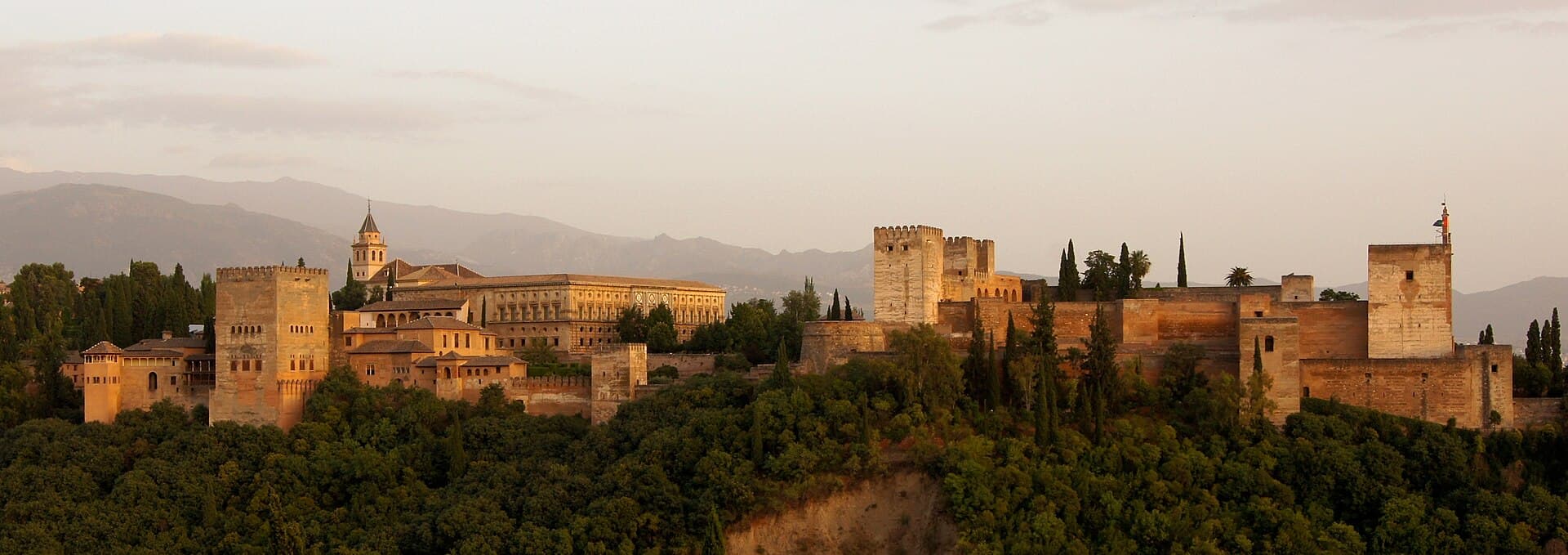
Granada is the capital of its province, at the foot of the Sierra Nevada where the Darro, the Genil, the Monachil and the Beiro meet. The city’s average elevation is 738 metres, and it lies about 50 kilometres from the Mediterranean coast. It had 233,532 residents in 2024, and the municipality covers 88.1 square kilometres. Behind it, Mulhacén rises to 3,479 metres, the highest point on the mainland. Part of the range is a national park and a biosphere reserve. The Alhambra is a palace and a fortress on a slope facing the Albaicín. It is among the best-known architecture of al-Andalus, the medieval palace of that period that survives in the best condition, and it also has Renaissance wings. It was inscribed in 1984. The Generalife is a summer palace and garden for the rulers, immediately east of the Alhambra and higher up, with a long court where a water channel runs between the planting. The Albaicín is a quarter on a hill north of the Darro. Its streets still follow the Nasrid layout, even where the buildings later changed. In 1994 it was added to the Alhambra and Generalife site. From its terrace the walls, the towers and the mountain sit in one view. Give the visit a full day: the palace in the morning, the quarter when the shade lengthens, and the mountain only if a second day is free for the climb.
- 0 residents in 2024.
- Population
- 0 metres, about 50 kilometres from the coast.
- City elevation
- 0 metres, the highest point on the mainland.
- Mulhacén