03Cities and regions
The end of the climb
Grossglockner and the ice
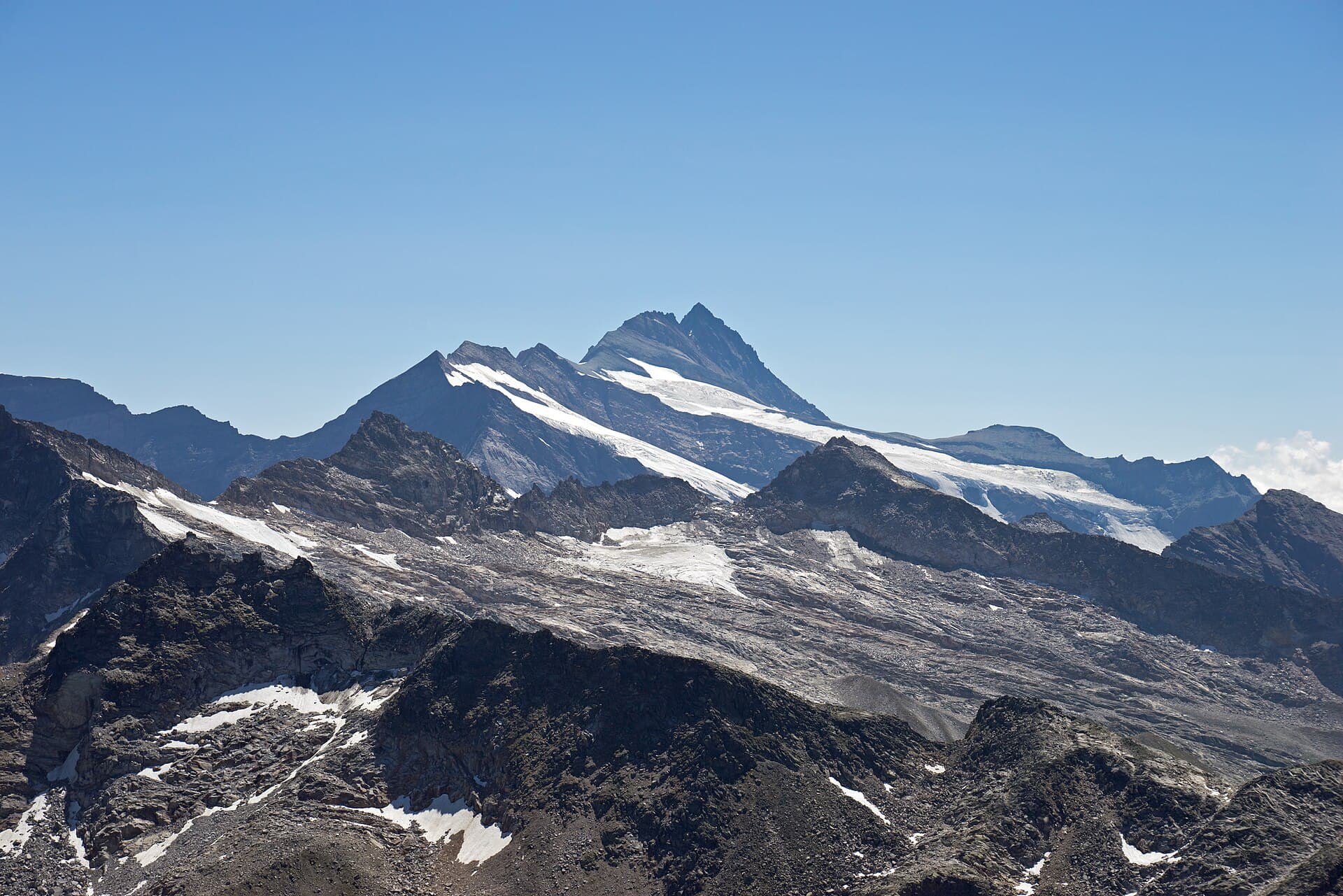
The Hohe Tauern form a range on the main arc of the Eastern Alps and hold the highest peaks east of the Brenner Pass. Grossglockner is the tallest of them: 3,798 metres above the Adriatic, and Austria’s highest mountain. The summit is twin-peaked — the main summit and the Kleinglockner at 3,770 metres. On the eastern flank lies the Pasterze glacier, about 8.4 kilometres long, the longest in Austria and in the Eastern Alps. The paved High Alpine Road links Bruck in Salzburg state with Heiligenblut in Carinthia, via Fuscher Törl at 2,428 metres and Hochtor at 2,504 metres. It is the country’s highest paved pass road, built as a scenic route, and carries a toll. The current toll is listed on the road’s official site. Stop at the viewing platform before you finish the hairpins. This is a place of altitude, not necessarily a city where you sleep. The range marks a border between states, and the summit is not a one-hour stroll after lunch in the valley. Look at the pyramid from the platform before you continue the road. Ice and asphalt share the same day — give both their due.
- 0
- Summit elevation (m)
- 8.4
- Pasterze length (km)
- 0
- Hochtor pass (m)