04Experiences
Two heights
Mulhacén and Teide
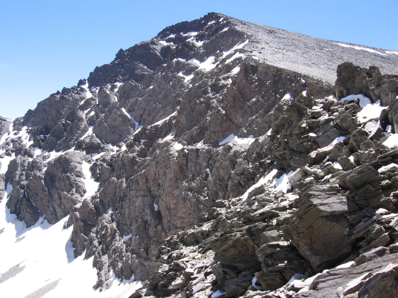
The country has two summits, not one, and mixing them up misreads the map. Mulhacén stands in the Sierra Nevada, between Granada and Almería, at 3,479 metres, the highest point on the mainland. The range holds a national park and a biosphere reserve, and observatories sit on the northern slopes at about 2,800 metres. From Granada the mountain shows behind the Alhambra on a clear day, and the climb is a day of its own, not a footnote to the palace. Teide, on Tenerife, rises 3,715 metres above the sea and is the highest point in all of Spain. Its national park covers 189.9 square kilometres and was inscribed in 2007. From the ocean floor its full height is counted at 7,500 metres. The rocks in the second photograph are on the park floor, not in the Sierra Nevada. The two mountains do not fit in one day. The volcano needs a Canary flight and clothes for the cold at the top even when the beach is warm. Mulhacén needs a day out of Granada and a road that closes with snow. If the plan is tight, take the summit that belongs to your island or your city and leave the other for a later trip. The height on Teide changes the breath for people who are not used to it, so the climb is slow and the descent is before the last buses.
- 0.9 square kilometres, on the World Heritage List since 2007.
- Teide park