04Experiences
The high north
The road to the summit
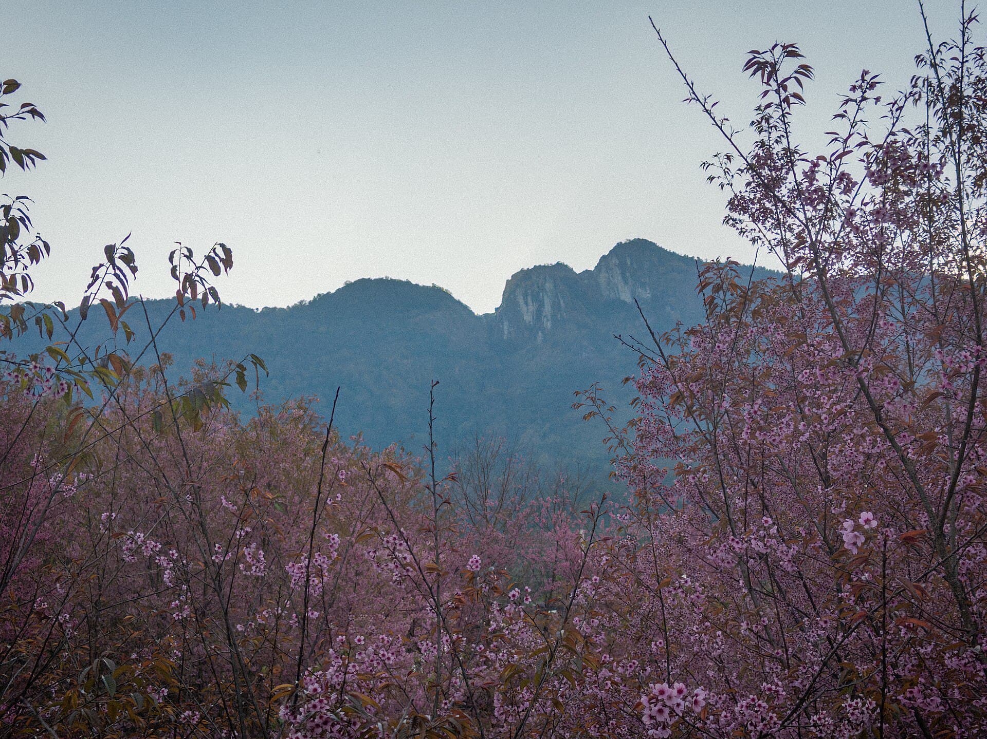
Doi Inthanon is Thailand’s highest mountain, at 2,565 metres, in Chom Thong District, Chiang Mai Province. It was once called Doi Luang Ang Ga, then renamed for Inthawichayanon. The usual way up is by road, not a measured hiking trail. Doi Inthanon National Park was created in 1954, one of the country’s first fourteen national parks. It covers 482.4 square kilometres, from lowlands near 800 metres to the peak. On the summit a Royal Thai Air Force weather station operates beside the Thai National Observatory. Winter at the top is cold: the January average is about 6°C, and the temperature can fall below zero. A reading of −5°C was taken at 06:30 on 21 December 2017 at kilometre 44. About 12,000 people reach the summit on New Year’s Day, so a weekday morning is the quieter bet. Closer to town, Doi Suthep is 1,676 metres and Doi Pui 1,685, both about 15 kilometres from the centre. Take a warm layer even when the moat in Chiang Mai feels mild.
- 0 m
- Doi Inthanon
- 0 m
- Doi Suthep