03Cities and regions
The Hajar Mountains
Jebel Akhdar and Jebel Shams
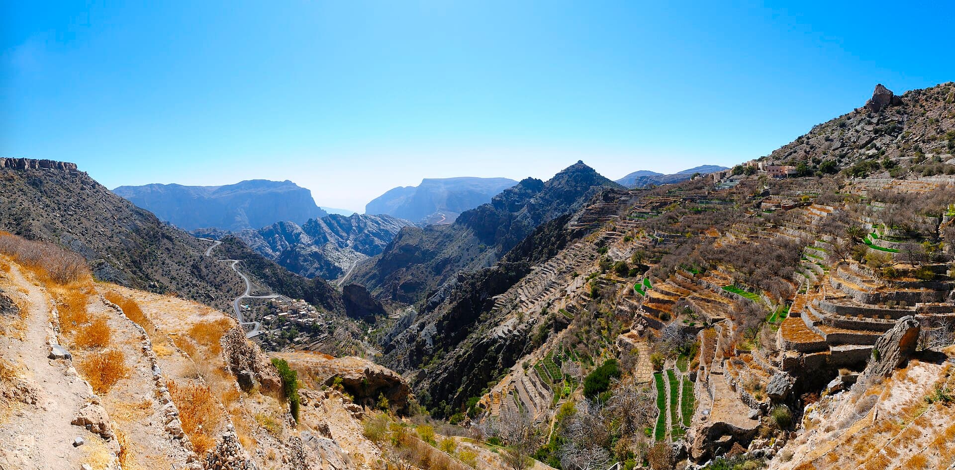
The Jebel Akhdar is a range of the Hajar Mountains about 80 kilometres long and 32 kilometres wide, in the Ad Dakhiliyah governorate some 150 kilometres from Muscat. It can only be reached by four-wheel drive, and on top lies the Saiq Plateau at 2,000 metres. The name, Green Mountain, comes from the extra rain it catches compared with the land below, enough for terraces of pomegranates, apricots, walnuts and roses, which are still distilled into rose water the traditional way. To the west rises Jebel Shams, Oman's highest peak at 3,009 metres, named Mountain of the Sun because it is the first place in the country to catch the sunrise. Below it, Wadi Nakhur falls away between towering rock walls and is nicknamed the Grand Canyon of Arabia. At 900 metres, the village of Misfat al Abriyeen perches on a rock with stone houses and a falaj more than 2,000 years old. Summer on Jebel Shams is around 20°C and winter can drop below freezing, so pack warm layers even when Muscat is hot.
- 0 m
- Height of Jebel Shams
- 0 m
- Saiq Plateau
- about 80 km
- Length of the Jebel Akhdar range
- 0 m
- Altitude of Misfat al Abriyeen