Loading the map…
02The land
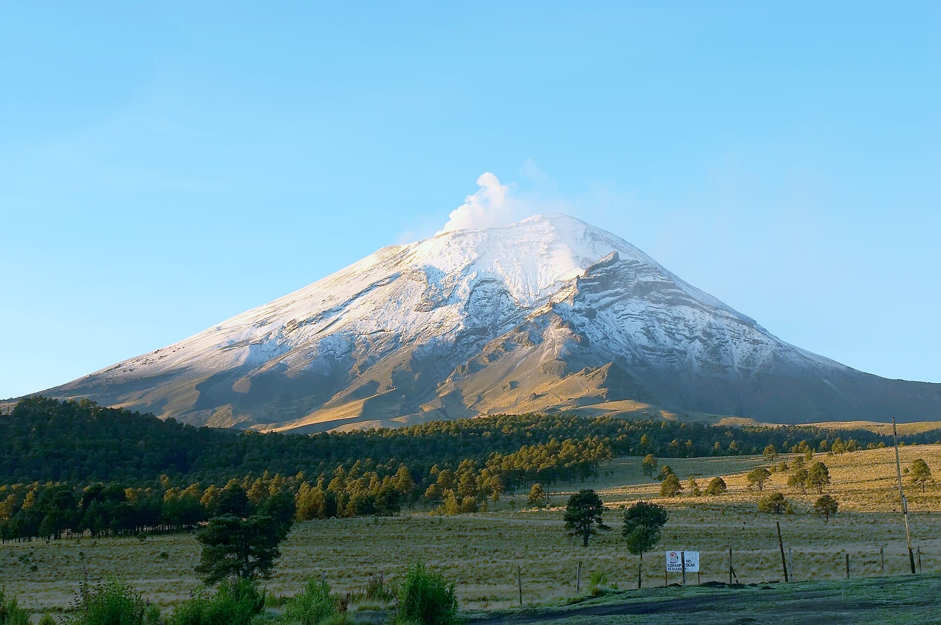
Popocatépetl and Iztaccíhuatl
Real 3D terrain of the twin volcanoes about 70 kilometres southeast of the capital, visible from the city on clear days. Popocatépetl, to the south, is an active cone 25 kilometres wide at its base; Iztaccíhuatl, to the north, means "white woman", as its four snowy summits resemble a sleeping figure. A high saddle, the Paso de Cortés, links the two. Drag to circle around.
Maps: © OpenStreetMap · OpenFreeMap · Terrain: AWS Terrain Tiles (Mapzen)